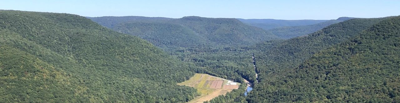
Trickling brooks! Big rock outcroppings! A great view of the Loyalsock Creek!
Sound nice?!
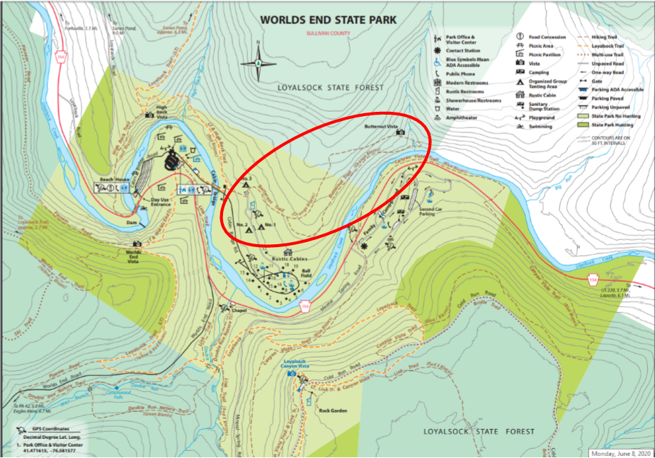
You can experience all this and more on the Butternut Trail in Worlds End State Park! This popular loop trail goes through NPC’s Flynn acquisition. If you’ve never hiked it before, here’s what you can expect!

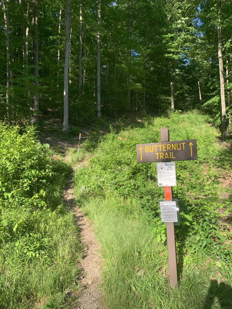
The 2.5-mile Butternut Trail makes a loop through a northern hardwood forest. It starts just past the State Park Visitors Center on the east side of the Cabin Bridge. There’s a small parking lot on the left near the trailhead.
Get ready to climb! The trail starts off steep but then levels out at a split where the loop begins. The Upper Road to the left follows an old logging road, while the Lower Road to the right runs parallel to the Loyalsock Creek.
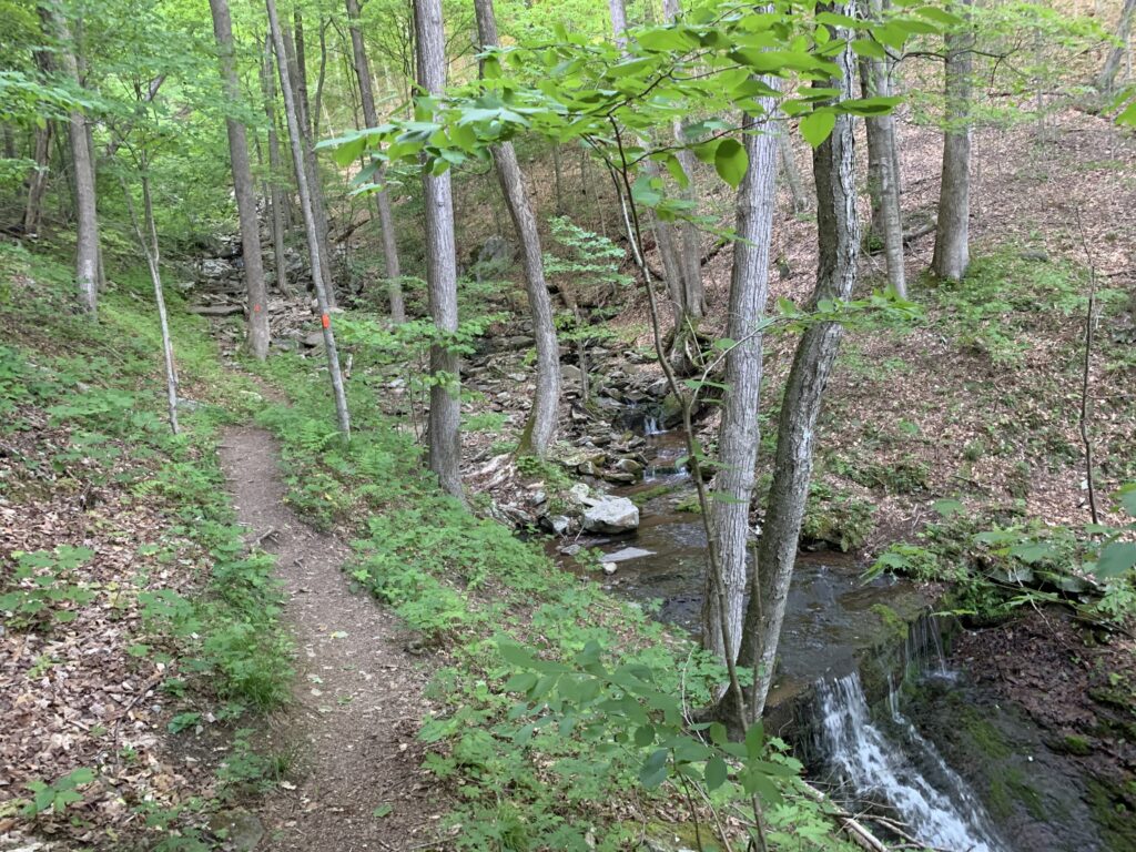
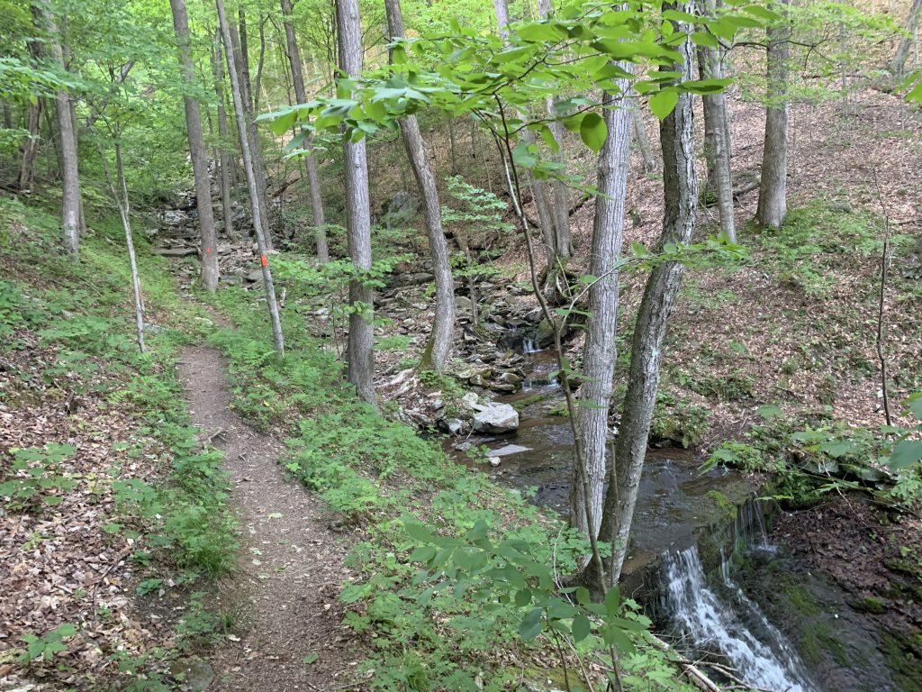
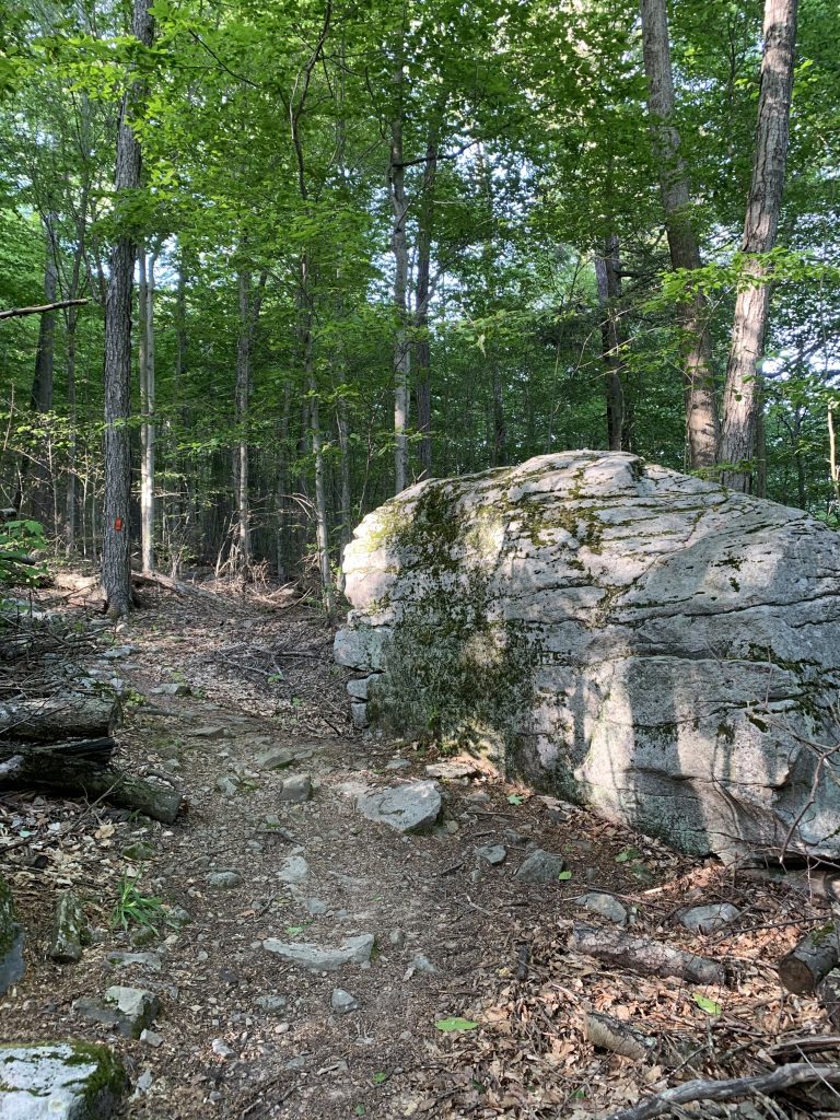
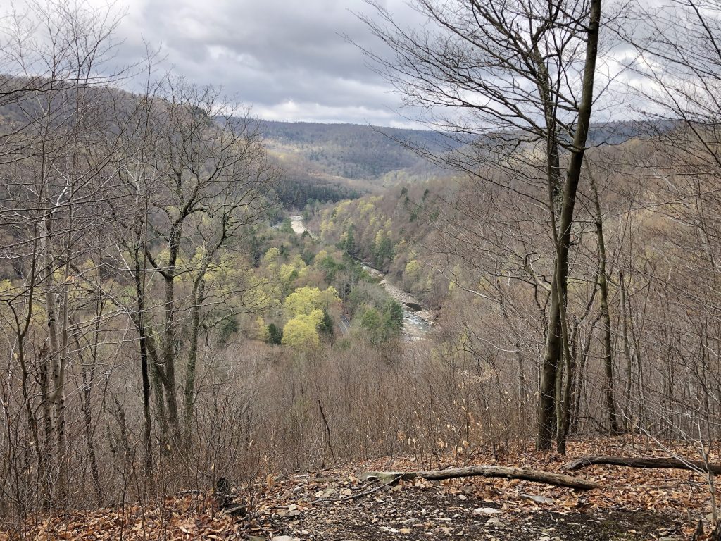
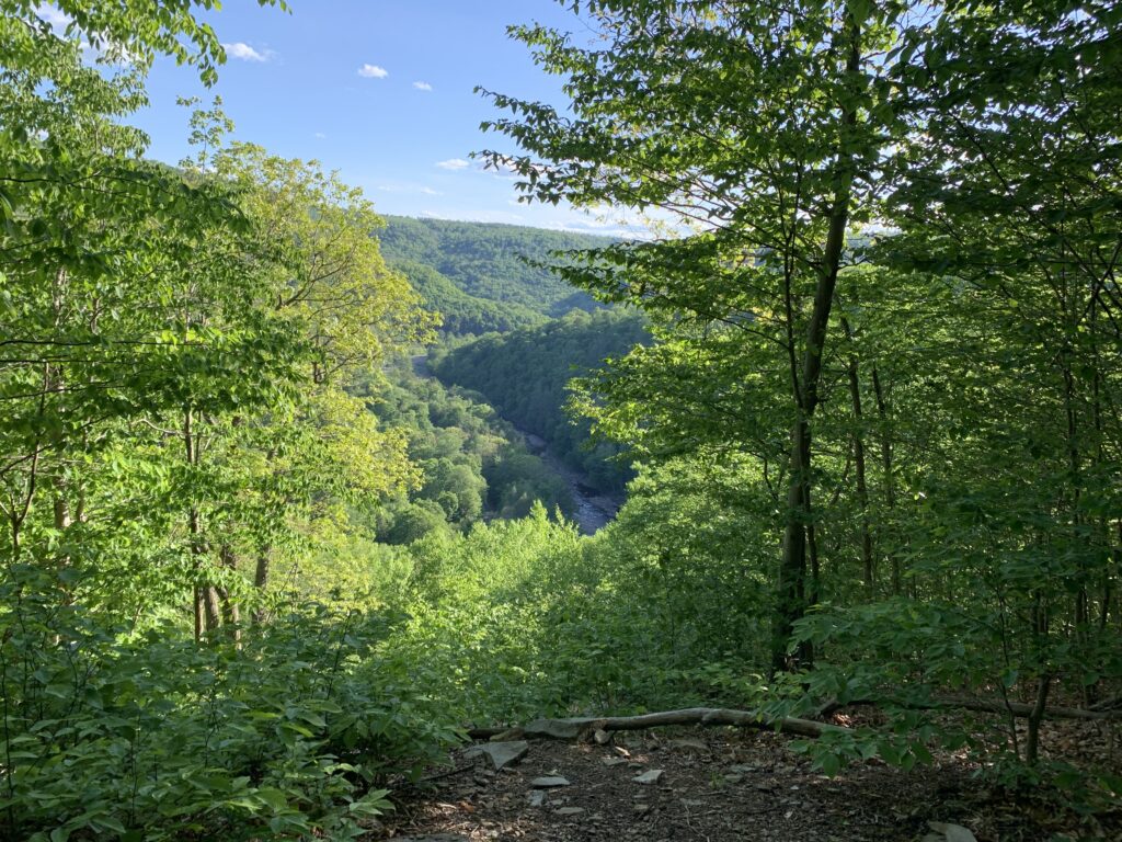
If you take the Lower Road, you’ll go up a moderate hill into the woods, then down to Butternut Run, a small stream with many waterfalls. Along the way, you’ll pass several springs and get a great view of the Loyalsock Creek. When you reach Butternut Run, you’ll have to cross it on foot because there’s no bridge. The stream may be little more than a trickle, but after a heavy rain, crossing might be harder!
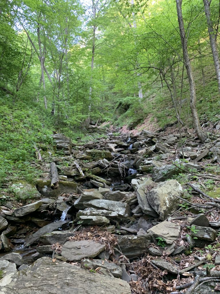
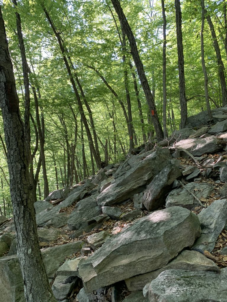
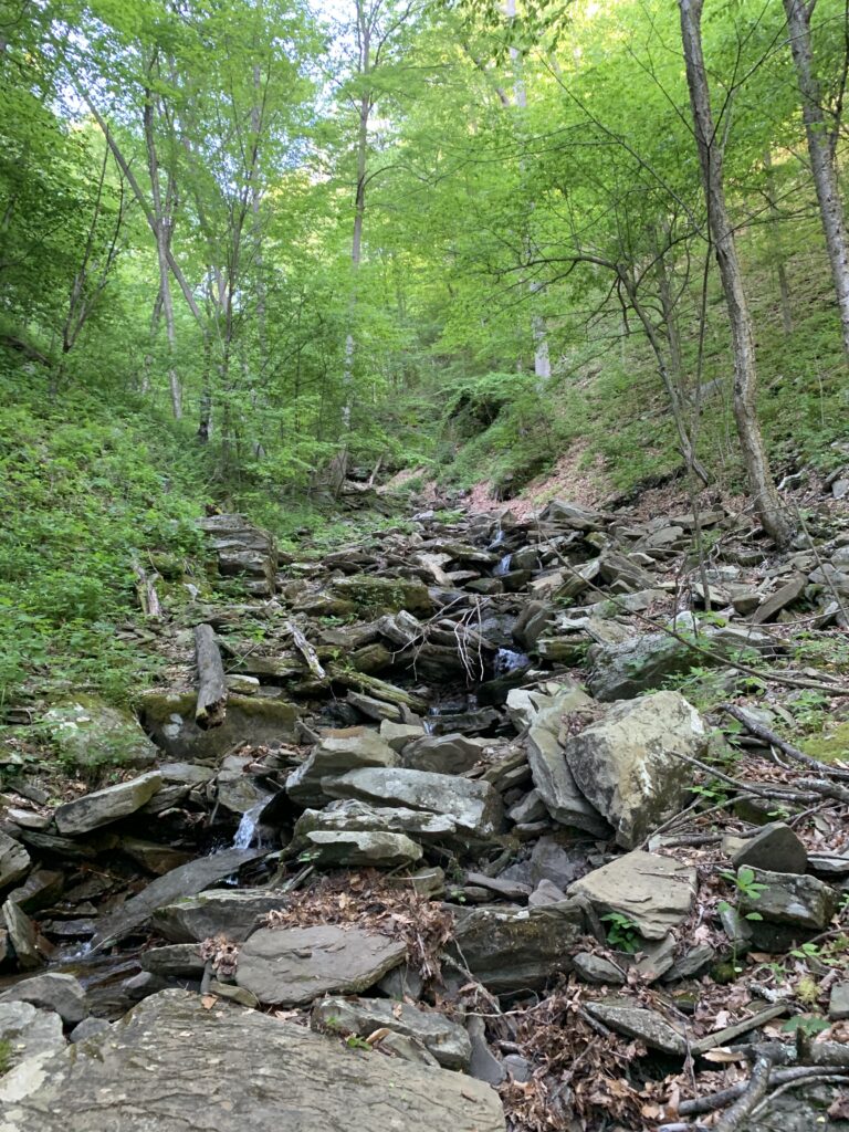
After crossing the stream, the trail goes up again, getting rockier and steeper with switchbacks. Enjoy the cool rock formations along the way!

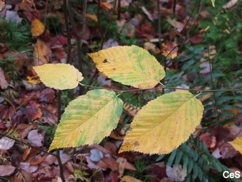
At the top, enjoy the views, then follow the orange blazes to finish the loop. On the second half of the hike, you’ll cross another section of Butternut Run, go through several clearings, and see more wildflowers and streams.
In 1993, NPC bought over 600 acres of forest land that form the northern and eastern edges of Worlds End State Park. This purchase gave people access to the land and allowed the creation of the Butternut Trail, thanks to longtime NPC member Ruth Rode. It also helped conserve a mile of the Loyalsock Trail, which would have had to be moved otherwise.
These 600+ acres are now part of the Loyalsock State Forest, making sure everyone can enjoy the Butternut Trail for years to come!