Celebrate National Trails Day on the Butternut Trail

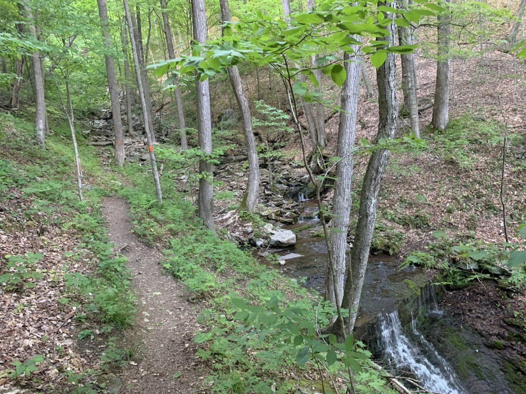
Trickling brooks! Big rock outcroppings! A great view of the Loyalsock Creek!

Sound nice?!

You can experience all this and more on the Butternut Trail in Worlds End State Park! This popular loop trail goes through NPC’s Flynn acquisition. If you’ve never hiked it before, here’s what you can expect!
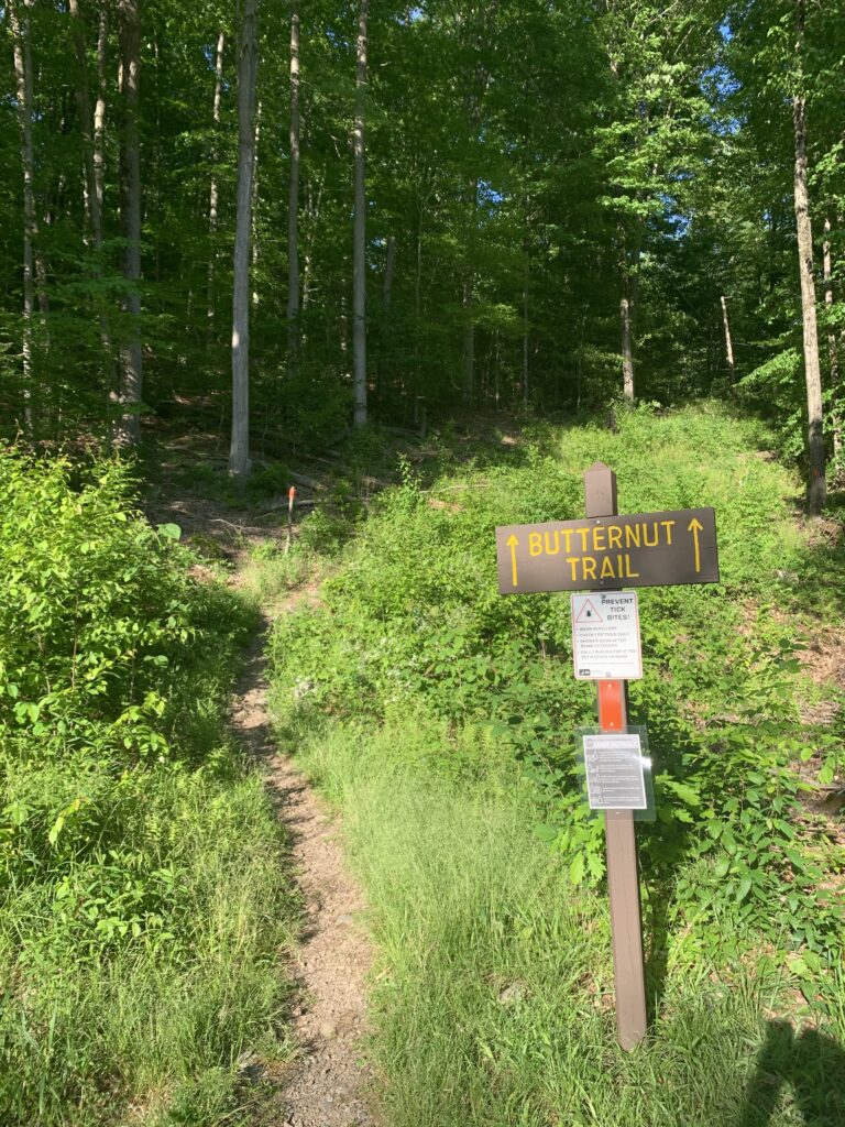
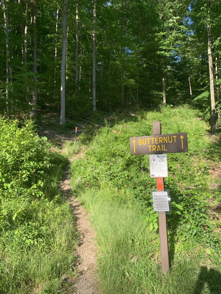
The 2.5-mile Butternut Trail makes a loop through a northern hardwood forest. It starts just past the State Park Visitors Center on the east side of the Cabin Bridge. There’s a small parking lot on the left near the trailhead.

Get ready to climb! The trail starts off steep but then levels out at a split where the loop begins. The Upper Road to the left follows an old logging road, while the Lower Road to the right runs parallel to the Loyalsock Creek.
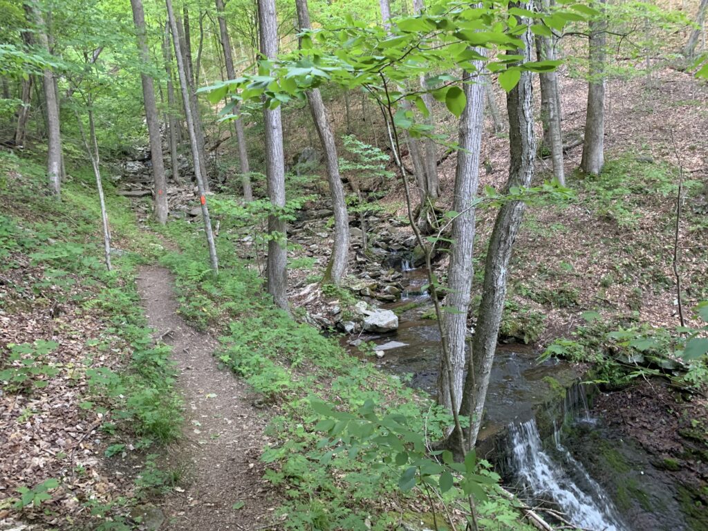
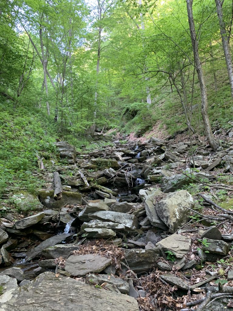
If you take the Lower Road, you’ll go up a moderate hill into the woods, then down to Butternut Run, a small stream with many waterfalls. Along the way, you’ll pass several springs and get a great view of the Loyalsock Creek. When you reach Butternut Run, you’ll have to cross it on foot because there’s no bridge. The stream may be little more than a trickle, but after a heavy rain, crossing might be harder!

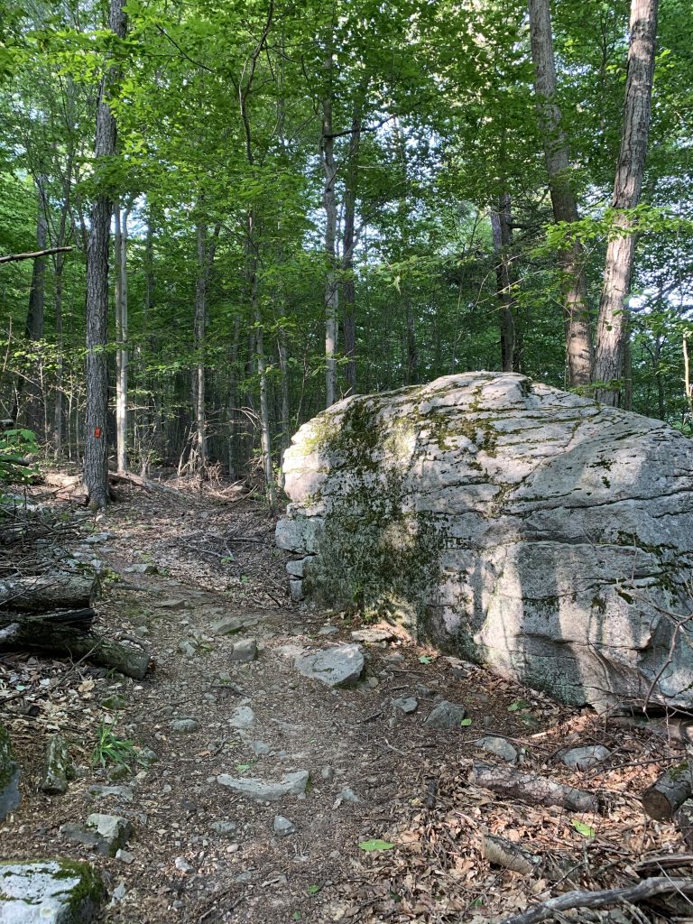
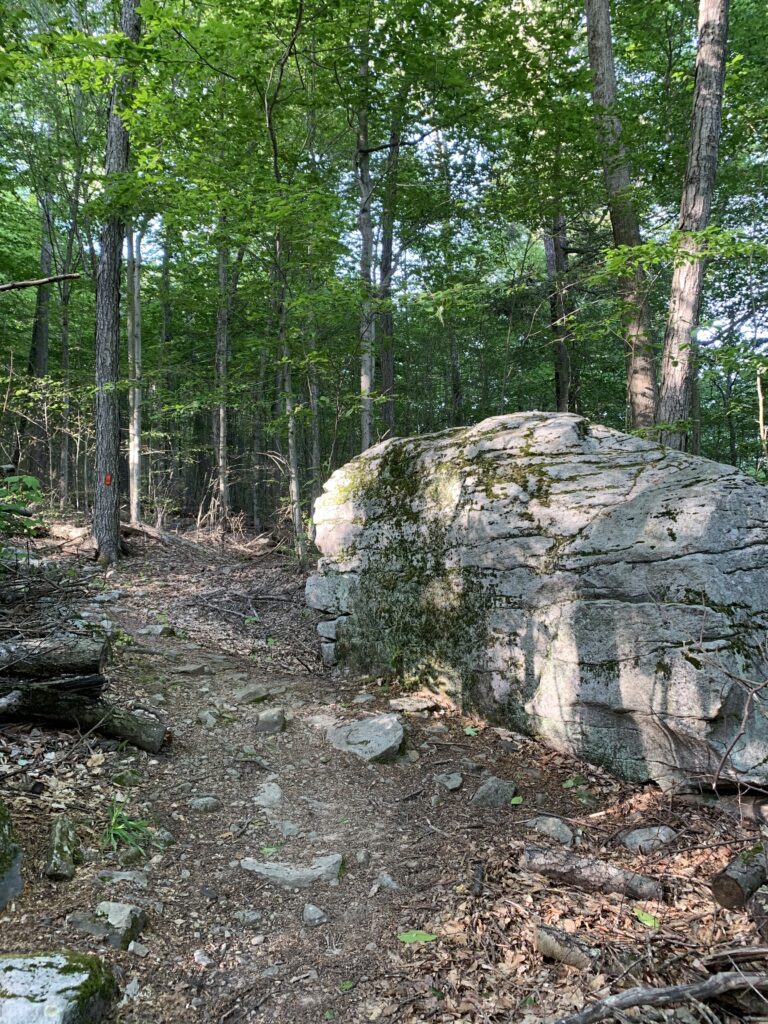
After crossing the stream, the trail goes up again, getting rockier and steeper with switchbacks. Enjoy the cool rock formations along the way!
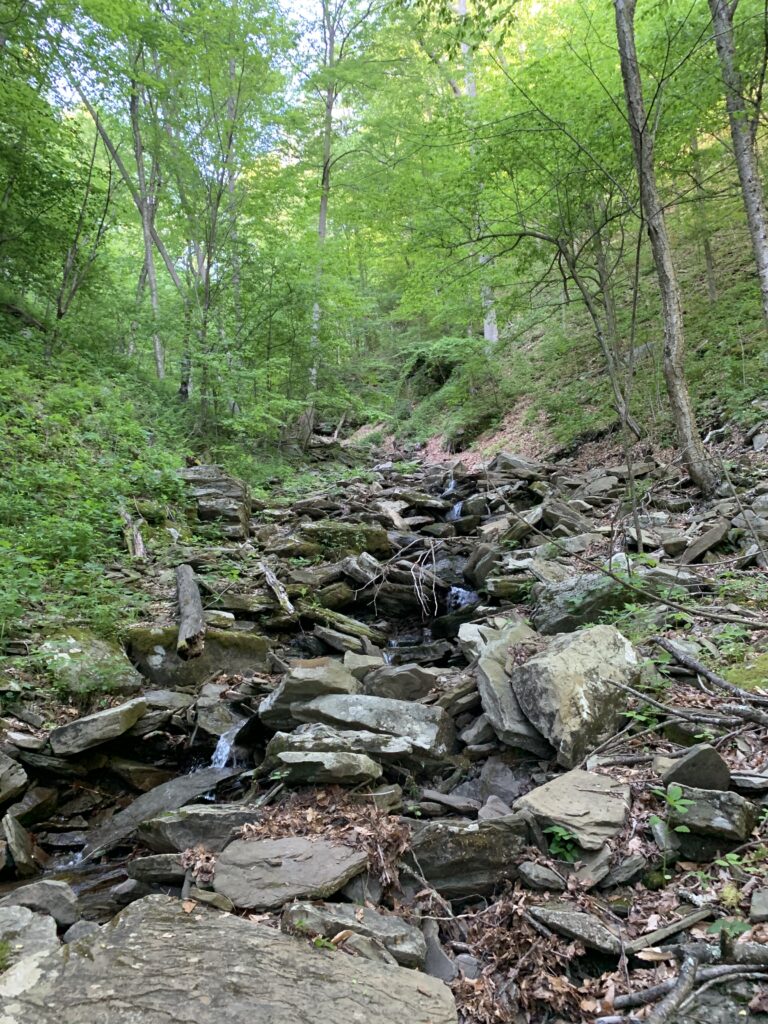
At the top, enjoy the views, then follow the orange blazes to finish the loop. On the second half of the hike, you’ll cross another section of Butternut Run, go through several clearings, and see more wildflowers and streams.
In 1993, NPC bought over 600 acres of forest land that form the northern and eastern edges of Worlds End State Park. This purchase gave people access to the land and allowed the creation of the Butternut Trail, thanks to longtime NPC member Ruth Rode. It also helped conserve a mile of the Loyalsock Trail, which would have had to be moved otherwise.

These 600+ acres are now part of the Loyalsock State Forest, making sure everyone can enjoy the Butternut Trail for years to come!
The Butternut Trail

In celebration of National Trails Day, Aaron Lewis (former NPC board member), laced up his boots to take us on a virtual trek of the Butternut Trail in Worlds End State Park. Portions of the Butternut Trail traverse NPC’s Flynn acquisition. If you’ve never had the opportunity to hike this popular, loop trail, here’s a quick look at what you can expect!

Trickling brooks, a stately rock outcropping, and a wonderful view of the Loyalsock Creek can be found on the rigorous Butternut Trail Loop. Go after a rain event and expect the small trickles to transform into cascading streams.

Aaron Lewis, Forester and Former NPC Board Member

The 2.5 mile Butternut Trail makes a circuitous loop through a northern hardwood forest. The trail originates shortly past the State Park Visitors Center on the east side of the Cabin Bridge. There’s a small parking lot on the left near the trailhead.

Now get ready to climb!  At first the trail is somewhat steep as it makes a quick ascent, but soon levels off and arrives at a split and the start of the loop.  The Upper Road to the left travels an old logging road.  The Lower Road to the right journeys parallel to and above the Loyalsock Creek.

Following the Lower Road, you’ll make a moderate incline into the woods, followed by a gradual decline to Butternut Run, a small, intermittent stream with numerous cascades.  Along the way you’ll pass several springs and enjoy a bird’s eye view of the Loyalsock Creek.  When you reach Butternut Run, be prepared to cross on foot as there is no bridge.  As you’ll see below, the stream was slightly more than a trickle on Aaron’s hike, but after a heavy rain this section of the trail could be tricky!

Crossing over Butternut Run

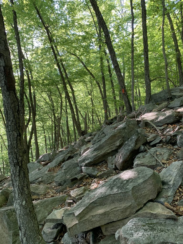
After crossing the run, the trail ascends again, becoming rockier, and following steep switchbacks.  Enjoy the unique rock outcroppings and formations along the way!

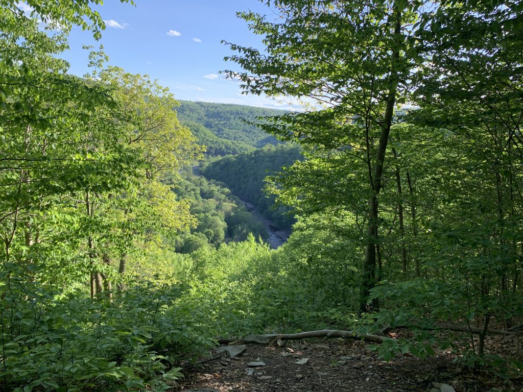
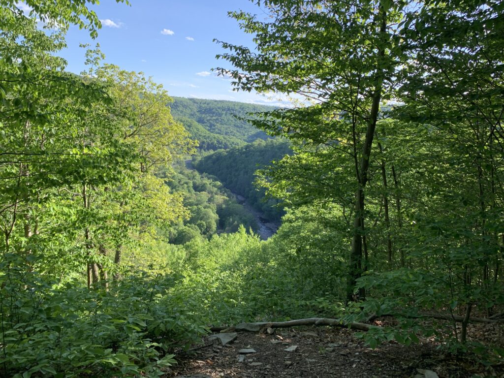
At the top, you’ll be rewarded with a stunning view of the Loyalsock valley from Butternut Vista.  Worth the climb!

Butternut Vista

After soaking up your views from the top, complete the loop by following the orange blazes.  During this second half of the hike, you’ll cross back over a different section of Butternut Run, travel through several glades, passing more wildflowers and streams along the way!

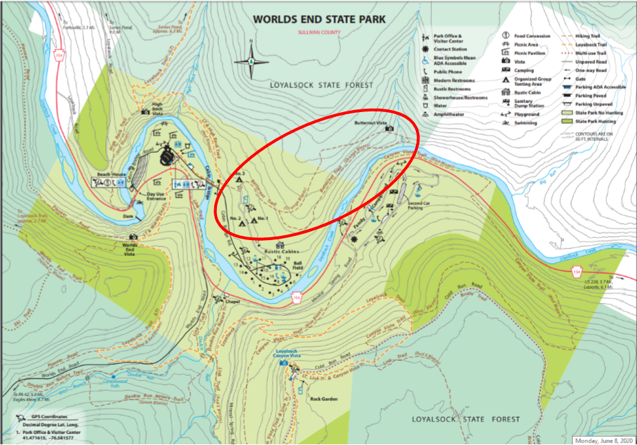
Circled above, the Butternut Trail on the Worlds End State Park map.

In 1993, NPC purchased over 600 acres of prime forest land, forming the northern and eastern boundaries of Worlds End State Park. In addition to providing public access to this tract, the acquisition allowed creation of sections of the future Butternut Trail (the trail was established by longtime NPC member, Ruth Rode, after the acquisition), and helped conserve a mile of the Loyalsock Trail that would have had to be relocated if the land was not made publicly accessible.

The 600+ acres was transferred to the Bureau of Forestry and is now managed as part of the Loyalsock State Forest – ensuring that the thrill of hiking the Butternut Trail remains available for everyone to enjoy for years to come!

Celebrate Pennsylvania Trails Month with NPC

September is a special time to celebrate the vast network of trails that Pennsylvania has to offer. With over 12,000 miles of diverse trails across the state, there’s an adventure for every type of explorer—whether you prefer hiking, biking, paddling, or simply immersing yourself in nature. This month, we’re thrilled to highlight some of the remarkable trails that NPC Members have helped conserve and enhance. These not-so-hidden gems are right here in Northcentral PA and they offer unique opportunities to connect with nature and enjoy the great outdoors.

Discover the Jacoby Falls Trail

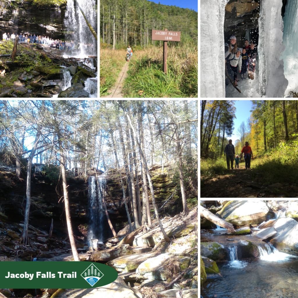
Just down the road from the NPC office is a true Lycoming County treasure—the Jacoby Falls Trail! This out-and-back trail takes you across a wetland boardwalk, through a shady forest of hemlock and hardwoods, and alongside the beautiful Jacoby Run creek. The hike ends at the stunning Jacoby Falls, which changes with each season—from spring’s cascading rainbows to summer’s gentle trickle, autumn’s vibrant colors, and wintery ice formations.

NPC played a key role in conserving this trail for everyone to enjoy. Until the early 2000s, the trail crossed both private and public land. When the private land went up for sale, NPC jumped at the chance to buy 362.5 acres, making sure the trail and surrounding areas would stay open to the public.

This conserved land is now part of the Loyalsock State Forest.

Paddle Through the Phelps Mills Canoe Access

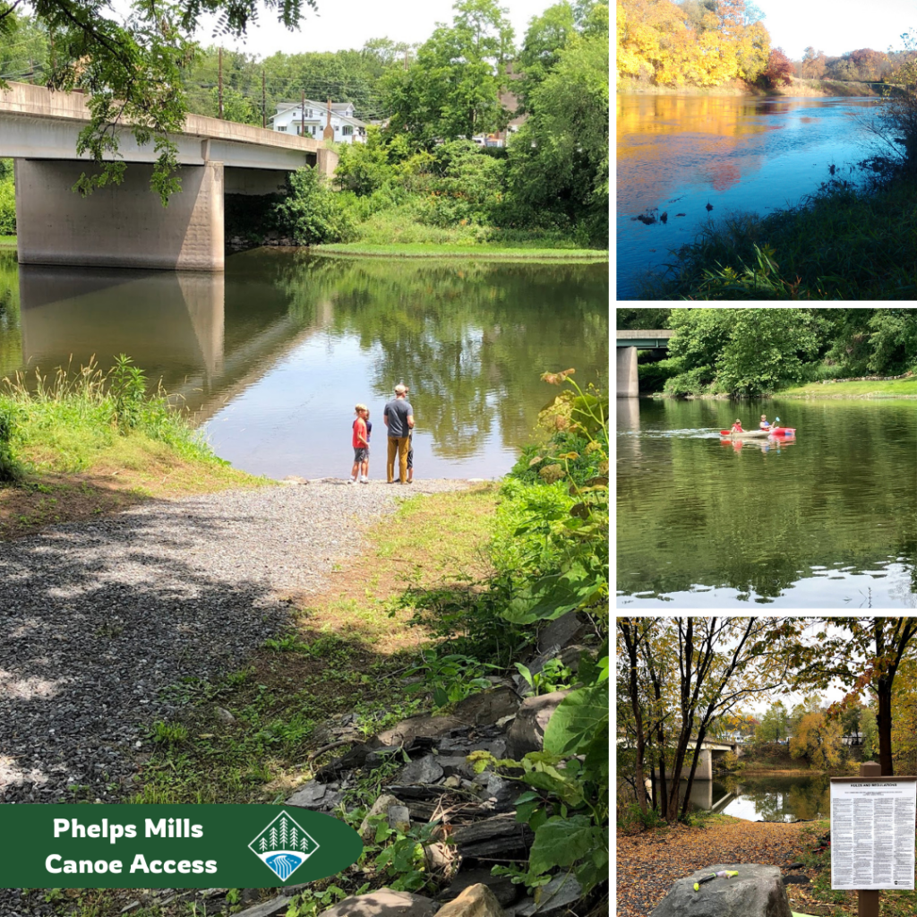
For water enthusiasts, Pennsylvania boasts 29 water trails ideal for kayaking, canoeing, floating, and more! Among these, the Phelps Mills Canoe Access on the Pine Creek Water Trail stands out.

For years, people used the property by the Route 150 bridge over Pine Creek to launch boats, fish, and relax, thinking it was public land. When the private owner decided to sell, the community risked losing this popular spot. That’s when NPC stepped in to purchase and conserve the land, and also secured funding to improve the parking area and canoe launch.

Now, it’s easier for everyone to enjoy the creek, and it’s officially part of the Tiadaghton State Forest.

Explore the Pine Creek Rail Trail

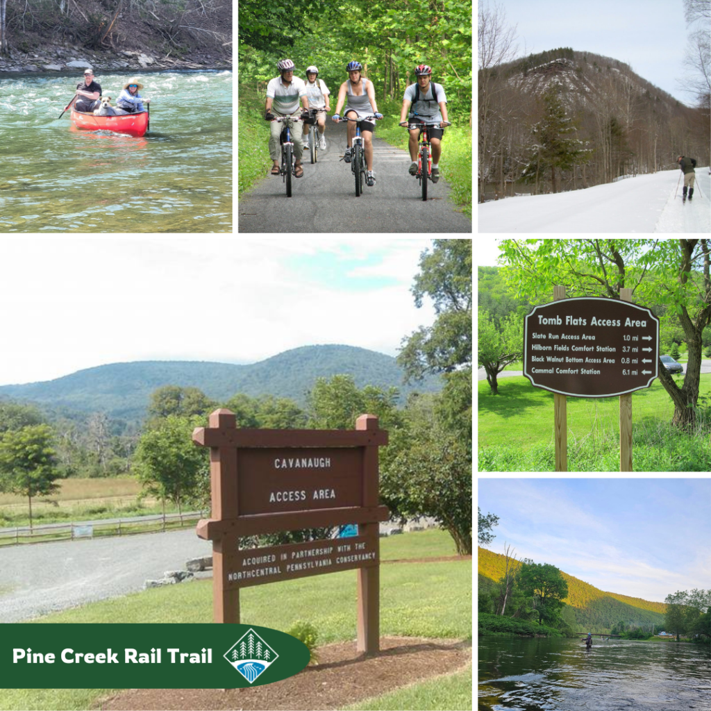
No celebration of Pennsylvania Trails Month would be complete without showcasing the Pine Creek Rail Trail, one of the most stunning and versatile 4-season rail trails in the northeast! Stretching 62 miles through forested canyon walls alongside Pine Creek, this trail offers endless opportunities for outdoor adventures.

For over 30 years, NPC members have been helping to conserve and enhance this trail system. From creating new access points like the Cavanaugh and Tombs Flat Access Areas to installing bike repair stations, and protecting the scenic views and wild spaces along the trail, we’ve been dedicated to ensuring everyone can enjoy hiking, biking, paddling, fishing, cross-country skiing, camping, and more!

Trek the Loyalsock Trail

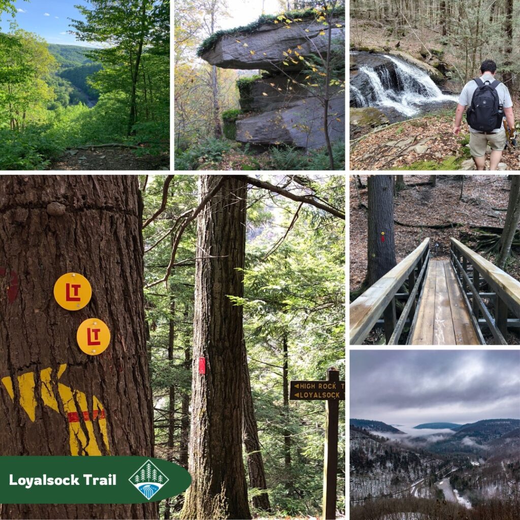
For those seeking a more rugged adventure, the Loyalsock Trail (LT) offers a 59.2-mile trek through the Loyalsock State Forest. This trail features historic CCC Camps, breathtaking vistas, and cascading waterfalls. From Route 87 near Montoursville to US Route 220 near Laporte, the LT traverses diverse landscapes, including footpaths, old logging roads, and abandoned railroad grades.

The Alpine Club of Williamsport has been instrumental in extending, relocating, and maintaining the LT over the years. In the early 1990s, the Northcentral Pennsylvania Conservancy (NPC) helped conserve the trail’s route by acquiring the 606-acre Flynn property. This acquisition conserved the LT’s original path and enabled the addition of new trails, such as the Flynn Trail and Butternut Trail!

Support this Work by Becoming an NPC Member

As we celebrate Pennsylvania Trails Month, we invite you to join us in conserving and enhancing the beautiful trails of Northcentral PA. Your support as an NPC member helps create trails and access to the outdoors for everyone to enjoy!

September is Trails Month!

PA Trails Month – Butternut Trail

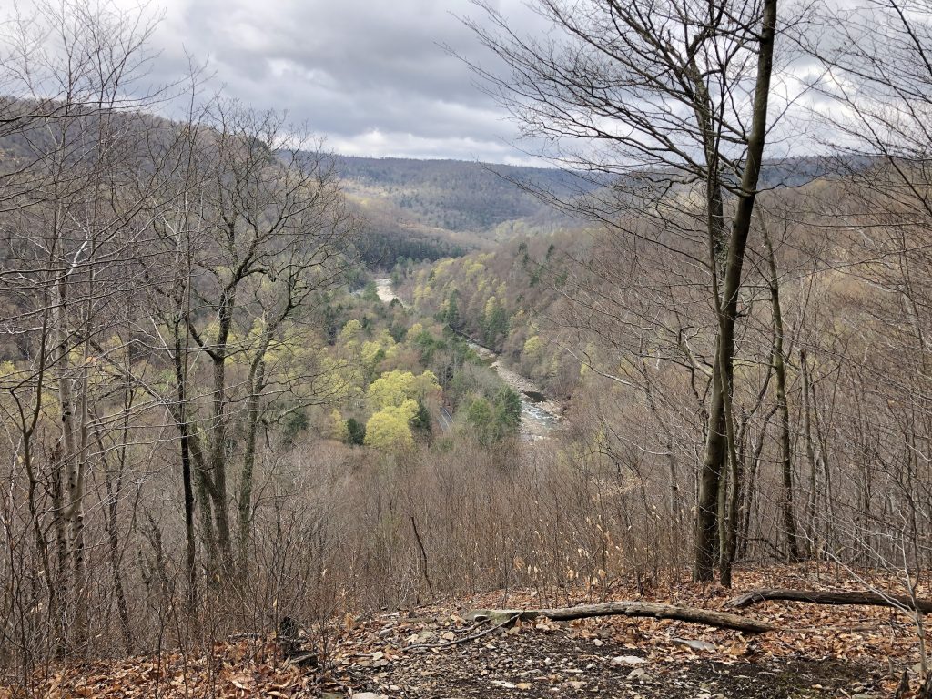
Butternut Vista at Worlds End State Park is on the Butternut Trail. The rocks, roots, and elevation change make this trail a little more difficult than “moderate.”

The trail traverses a property NPC purchased at an auction in the early 1990s. The property being sold adjoined Worlds End and the then Wyoming State Forest (now Loyalsock State Forest). A portion of the Loyalsock Trail (LT) is on the parcel.

This view from the Vista was taken in late April. Chilly, overcast spring days are great hiking weather!

One of the driving factors in NPC acquiring the property was concern about needing to re-route the LT.By acquiring the Flynn property, the LT could stay where it was, and additional hiking opportunities were opened up!

For more information on the Butternut Trail (and other trails at Worlds End) use the following link!https://www.dcnr.pa.gov/…/WorldsEndSt…/Pages/Hiking.aspx

The Worlds End Challenge

Last year NPC had planned to lead a group hike on the Butternut Trail at Worlds End State Park to celebrate the 30th anniversary.  Portions of the Butternut Trail traverse NPC’s ‘Flynn’ partnered acquisition.  NPC purchased the ‘Flynn’ property, over 600 acres of prime forest land, in 1993 to form the northern and eastern boundaries of Worlds End State Park.  While planning the hike, we realized the Endless Mountains Heritage Region (EMHR) was planning a similar hike on the same weekend as part of their Sullivan County Hikes and Bikers series:  The Worlds End Challenge.  So, naturally, we teamed up! 

Of course, the event was postponed last year due to COVID-19. Recently, EMHR reached out and asked if we’d lead the hike this year as part of The Worlds End Challenge. Their two-day event, May 22 – May 23, challenges hikers to visit every Worlds End State Park vista/overlook over the course of the weekend. 

Due to COVID-19 guidelines and current restrictions on EMHR/DCNR events, the event is limited to 50 people, so sign up fast! All guidelines, including masks and social distancing, will be applied where necessary.

Registration is $10. For more information and how to register, please visit:  www.emheritage.org/events.

Butternut Vista

For more information and how to register, please visit:  www.emheritage.org/events.

Changing of the Leaves

ButternutSome leaves begin changing in mid to late August, but as the season progresses into September more and more trees begin changing color. Among the first to change are black walnut and its close, but much less common, relative butternut (photo on the right). These species tend to set leaves late in the spring and lose their leaves early in the autumn but they grow rapidly nonetheless. The leaves of both species normally turn pale yellow or tan and fall soon after.
Black, yellow and white birch leaves (below) also normally turn color early in the fall and also become yellow, but a much brighter yellow than either walnut or butternut. In our area, black birch is Birch, Blackby far the most common of the birches, growing in both moist and dry sites and frequently seeding in on sites disturbed by logging or wind throw. Here, yellow birch is confined to cool moist sites, usually in deep valleys or high elevation wetlands. White birch is close to the southern limit of its rage in northcentral Pennsylvania where it is most commonly found as scattered individuals on ridgetops or where severe forest fires killed most other trees.

Happy Holidays from NPC…

2014

Have a wonderful holiday season! As you celebrate with friends and family, and reflect on 2014 we wanted to share a few photos from 2014’s conservation easement stewardship visits, stream restoration projects, and the newest conservation easement. Enjoy the photos and your holiday! May you have a healthy and happy 2015!

Left column – top to bottom
June 19, 2014 – Robwood Mountain, located to the southeast of Towanda in Bradford County, is the location of a large property protected by a conservation easement held by NPC. During the monitoring visit I came upon the largest wild butternut I’ve ever seen. The tree was located in a deep hollow on the moist fertile soil that butternut prefers. Unfortunately, an apparently exotic fungus disease – butternut canker – that often girdles and kills the trees is heavily affecting butternut throughout its range. In most areas over 75% of butternut trees are infected and most infected trees die within 15 years.

Butternut is now considered “a species at risk” in the United States. Butternut wood has been a favorite of carvers and cabinetmakers and may soon be unavailable for commercial use. This tree on Robwood Mountain has a few small cankers and, unfortunately, may not be alive much longer.

April 17, 2014 –Fossil Farm Easement – In a plantation of young Norway spruce a kestrel was perched on the leader of the tallest spruce in the vicinity. While the landowner and I walked along the edge of the planting, it flew from spruce to spruce until finally circling around to land on a tree behind us. The tall grasses and goldenrod among the planted spruce provide excellent habitat for meadow voles that frequently girdle planted trees beneath winter snow – the kestrel protects those trees at no cost to the landowner by feeding on the voles.

May 13, 2014 – Carl Barlett, recently retired NPC Board member, and I inspected the Oak Meadow Farm easement on a gray rainy morning. As we walked up the lane a large bird perched in a tree overhanging the lane caught our eye. At first I thought it was a red-tailed hawk, but the camera’s telephoto lens revealed it to be a mature bald eagle. A few steps to bring us closer caused the bird to spread its wing and take flight – right over our heads. There’s a pond on the property and other ponds nearby; still it was not the kind of place an eagle would normally be found.
Middle column – top to bottom
August 6, 2014 – Today’s Field Tour on Turtle Creek was a success! Over 100 people, mostly Amish and Mennonite attended. Many of the farmers brought their sons and daughters along, so we were able to educate the current land managers, and start educating the future land managers.

July 15, 2014 – NPC’s summer intern Lilly went with me to inspect the Dickey Farm conservation easement. The property is partially cropland, but is primarily forested. As we walked along a woods road we flushed a fledgling wood thrush from a patch of fern. The young bird flew up to land on a branch in a nearby tree. Wood thrush are forest interior birds, dependent on fairly large parcels of undisturbed forest. They build their nests on limbs of understory trees, usually less than ten feet above the ground. Wood thrushes migrate to Mexico and Central America where they spend the winter.

Pennsylvania’s wood thrush population seems to have declined by more than 25% since the 1980s, probably due to habitat loss from development and forest fragmentation. NPC’s conservation easements’ forests help to protect the forest habitat needed by forest interior birds like wood thrush.

May 20, 2014 – Pinkster azalea is a native shrub that brightens portions of northcentral Pennsylvania’s woodlands each spring. Unfortunately, it can be heavily browsed by white-tailed deer, so its pink blossoms are becoming increasingly scarce. The Morgan Valley Road easement is blessed with a number of these shrubs, most in the wooded stonerows separating fields or on the border of field and forest. One large pinkster was graced by a tiger swallowtail butterfly that flew from flower to flower feeding on the nectar it found in the flowers’ corolla.
September 4, 2014 – The Scott easement is the property where I usually see a host of purple trillium; but they bloom in May and this year’s inspection was much too late for blooming trilliums. September is the time when beechdrops (Epifagus virginiana) bloom and the forest had a lot of beechdrops in bloom. Beechdrops are flowering plants without chlorophyll in their tiny scale-like leaves and therefore aren’t green. Instead of manufacturing their own food they’re parasitic on the roots of beech trees, but do not harm the trees. The small inconspicuous flowers of beechdrops are normally off-white with a red lengthwise stripe – but on this day, along a woods road, grew a yellow beechdrops plant. In 50 years of wandering the forests, never before have I seen a yellow beechdrops.

Right column – top to bottom
October 9, 2014 – In southwest Bradford County the Shedden conservation easement borders Towanda Creek. Not far north of the property the Tennessee natural gas pipeline right-of-way has been widened to accommodate a second pipeline used to transport gas extracted from the Marcellus shale. Widening the right-of-way impacted a number of wetlands and those impacts had to be mitigated to Corps of Engineers’ standards. The mitigation contractor contacted the easement landowner and NPC about installing a riparian buffer on the conserved property as part of the mitigation project. After review NPC agreed that installing a riparian buffer of trees and shrubs on the previously pastured bank of Towanda Creek would help to improve the stream’s water quality and fish and wildlife habitat. Earlier this year the plantings were completed and today’s inspection showed that survival of the plantings was very good.

November 18, 2014 – As NPC’s Technical Committee was evaluating the John F. Logue property we came upon a large straight tree with a long fresh scar from top to root. The tree was a black cherry, typically the most valuable species in a woodland dominated by a northern hardwood forest (usually called beech-birch-maple). The scar was caused by a lightning strike from a passing thunderstorm. Tree species vary in their susceptibility to being struck by lightning with black cherry being near the top of the list as is Pennsylvania’s state tree – eastern hemlock. The committee also discussed the large grape vine in the tree’s top. Many people think that grapes climb high into the tree tops. However that’s not the case: the grape and the tree both start out together as seedlings. Over the years, as the tree grows taller the grape vine keeps pace and can maintain its position in the tree’s top. Eventually as the grape vine get heavier and/or its leaves shade the tree excessively the tree may die either from breaking under the weight or, unable to produce enough sugars and starches, die from too much shade
April 17, 2014 – The Fossil Farm Easement was named for the outcrop of fossiliferous rock at its highest point. But there are other interesting features on the property – The dam of an abandoned beaver pond still holds back some water and there a green heron was foraging. As we watched it repeatedly lunged at prey, catching a small fish and other things too small to identify.