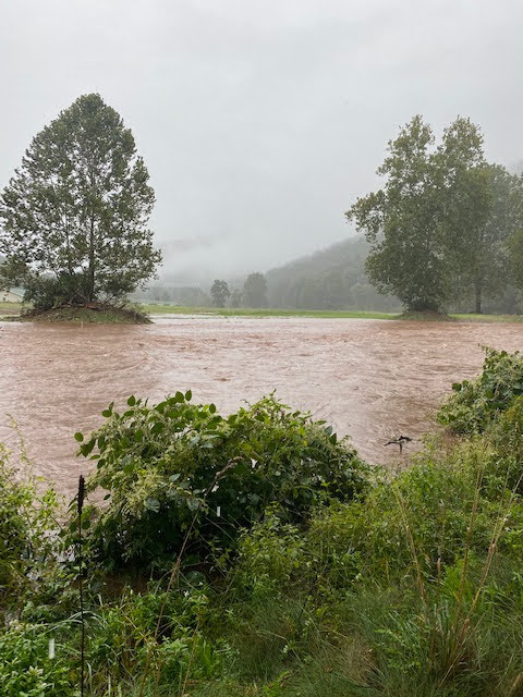
A lot ot people would look at the photo below and think, “oh no! That’s awful.”
This is a photo from Thursday, September 23, 2021. The PA Game Commission’s Food and Cover crew stopped in to see how things were doing.
This is looking at the same trees in the first “flood photo” from a different direction. The flood water is pushing out of the Creek, between the trees, and into the field.
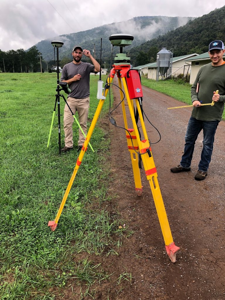
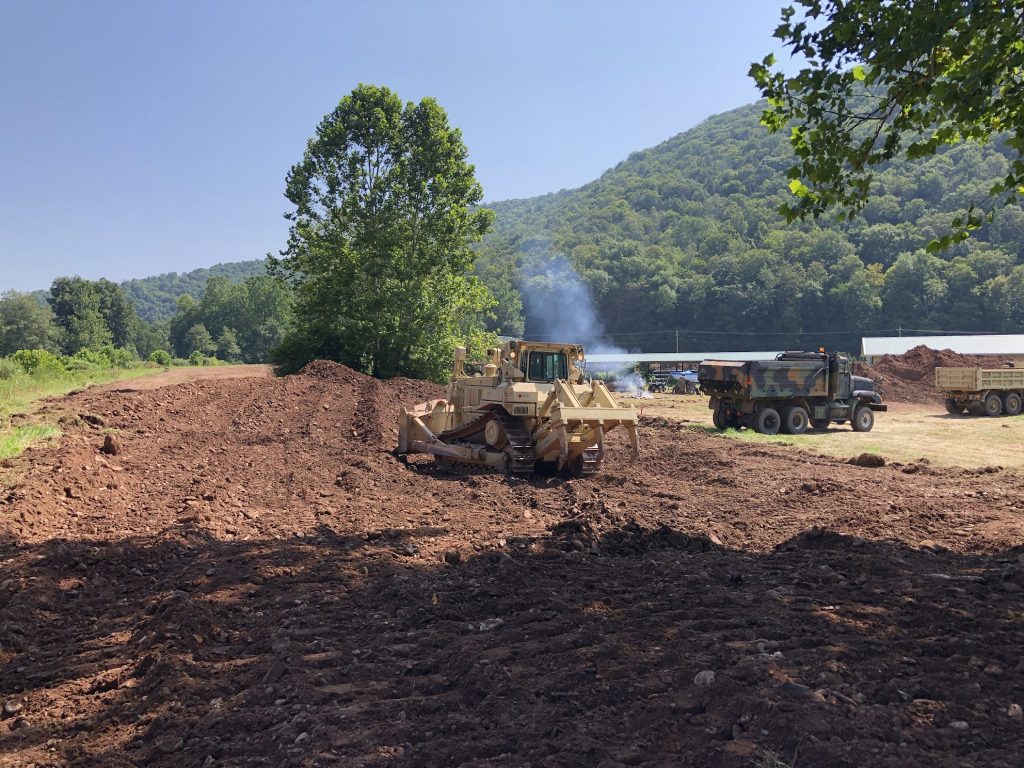
This is the project site on Plunketts Creek that the United States Army Reserves’ 333rd Engineering Unit’s 1st Platoon worked on for their summer training. The soldiers worked to remove an earthen berm.
The soldiers used heavy equipment to pull apart an earthen berm and move it out of the floodplain.
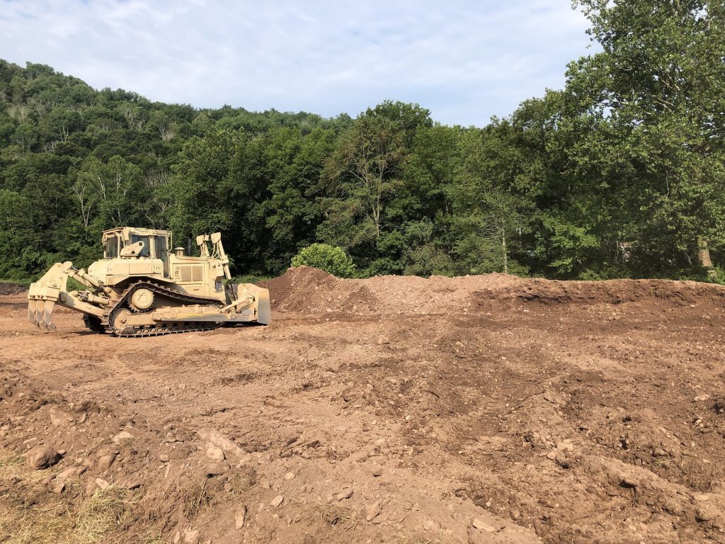
Here the soldiers are working in the area between the trees shown in the flood photo.
This solider is leaving an edge that a more experienced equipment operator would come back and “finish.”
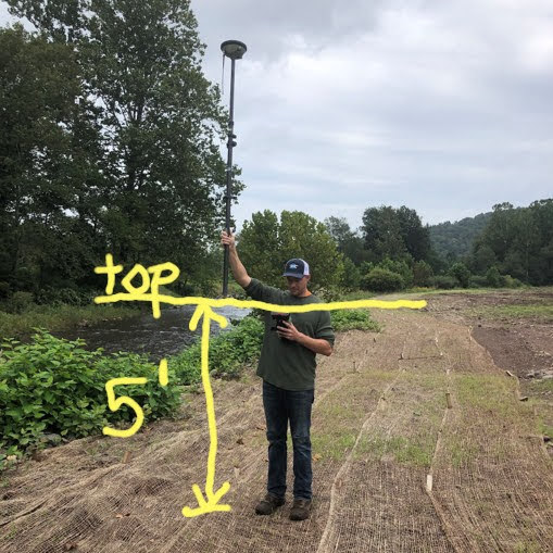
Trent is holding the survey rod “on top” of the berm. The bottom of the staff is resting where the top of the berm once was.
The Friday after Ida moved through (Friday, September 24, 2021) NPC staff went to visit the Plunketts Creek site. Not just because it was a beautiful morning, but because we wanted to see what Plunketts Creek did and where Plunketts Creek went with all the rain.
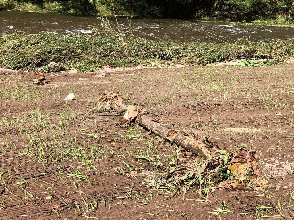
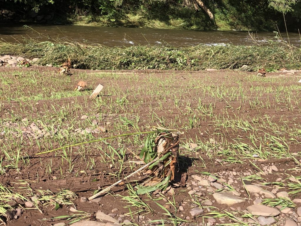
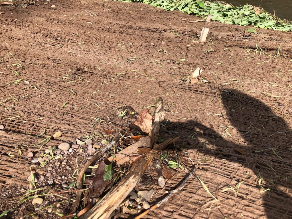
We wanted to see if there was flood debris that would need removed. This tree branch got caught up on the wooden stakes used to hold the jute mat in place (technically it’s a coconut fibre woven in to a grid).
There was also plant material caught on the stakes.
But, the good news is there’s fresh sediment (soil) too. As the flood waters spread out, the slow down in speed. As the water slows down, the sediment has a chance to settle out.
Think about stirring powder into a glass of water. As the water stops twirling around, some of the powder will settle into the bottom of the glass if it’s given a chance to sit.
A piece of a tree branch (about 1.5 inches in diameter and 18 inches long) got caught on this stake. You can see the gravel that deposited out behind that piece of branch. The branch provided a break to the flow and allowed the water to slow down. That slowing water was enough that material dropped out.
This long stretch of fresh sediment was one of the most exciting scenes. (Yes, this is what we find exciting.)
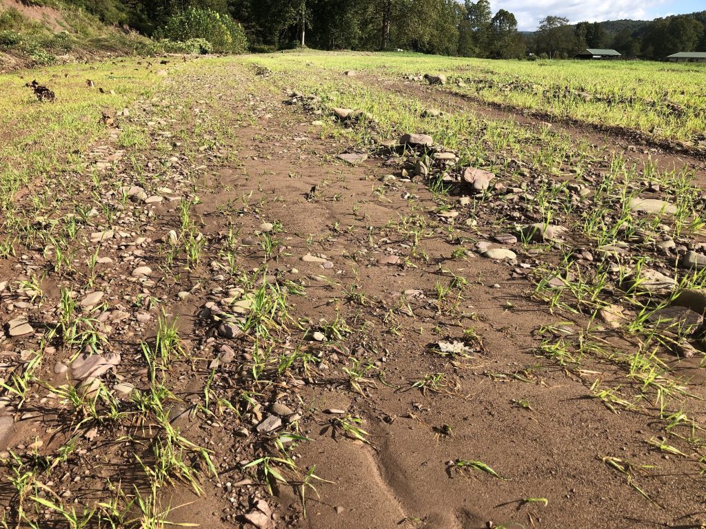
Plunketts Creek has access to its floodplain now. The water can easily rise up and move into the floodplain and slow down. The sediment drops out and erosion is reduced if not eliminated.
As the water recedes, the sediment remains. This sediment, or dirt and sand, provides a base for grass and plants to grow. A lot of Plunketts Creek has rocky edges. Getting plant material back along the Creek will provide a filter to keep sediment ouf the Creek (think about future rain storms washing dirt across the surface) and that vegetation helps to slow down flood waters a little more.
During our visit we also looked at the vegetation for signs on where the water had flowed. Here you can see the vegetation is pushed all the way over. You can also see in the lower right hand corner, sediment that was caught in the grass.
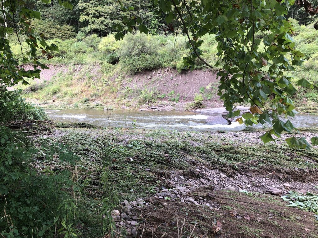
The erosion in the background is from either the 2011 flood or the 2016 flood in the watershed.
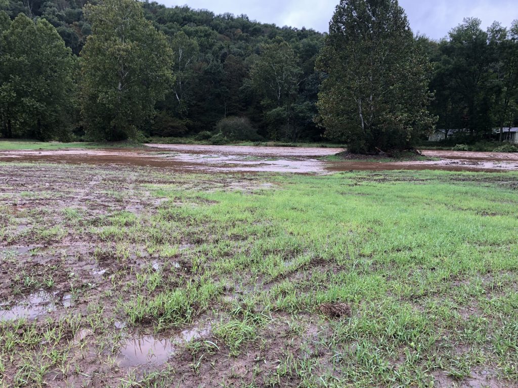
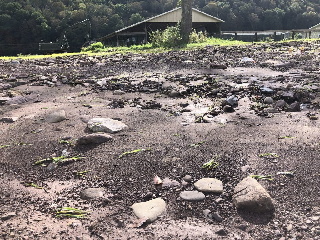
This is the same areas as the flood photos above. You can see the sediment that was dropped in (it looks more sandy here than soil-y) and the grass is knocked over. (This was another exciting scene for NPC staff.)
The signs from this first high water event are all good. Plunketts Creek used its floodplains and is deciding where it wants to settle.