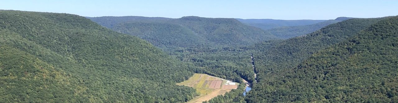
Some survey work was done last week at State Game Lands 134 (along Plunketts Creek in Lycoming County) to get information on the elevation at the site with the berm removed. As you may recall NPC partnered with the PA Game Commission, the 333rd US Army Reserve Engineering Unit, and numerous other groups to reconnect Plunketts Creek to its floodplain by removing an earthern berm along the Creek.
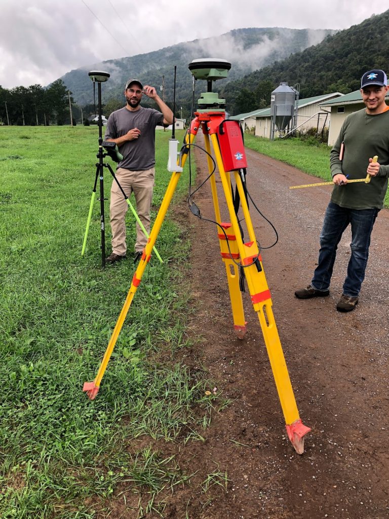
Mark and Trent with BluAcres found the control point from the survey work during the design phase and set up the equipment.
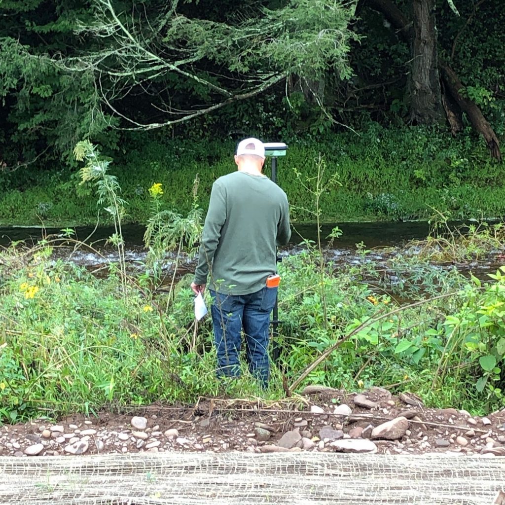
Trent found the previous survey points and collected data at those points.
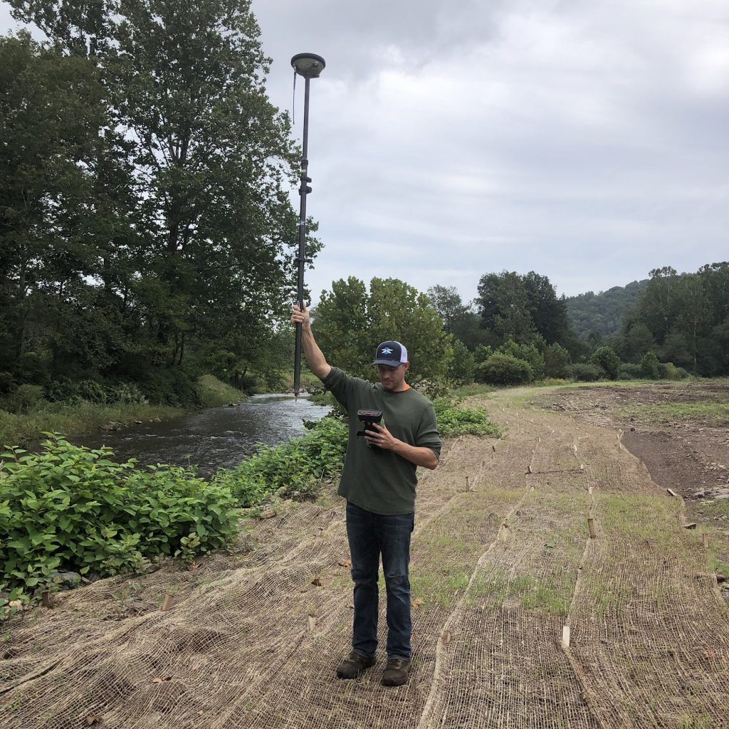
Trent even humored me and held up the staff so the tip was “sitting” on what would have been the top of the berm.
They’ll download the data. There will be some computer magic and then there will be a pretty new map. This work is to help the agencies who issued permits that the work resulted in the correct grade – the stream is reconnected to its floodplain.