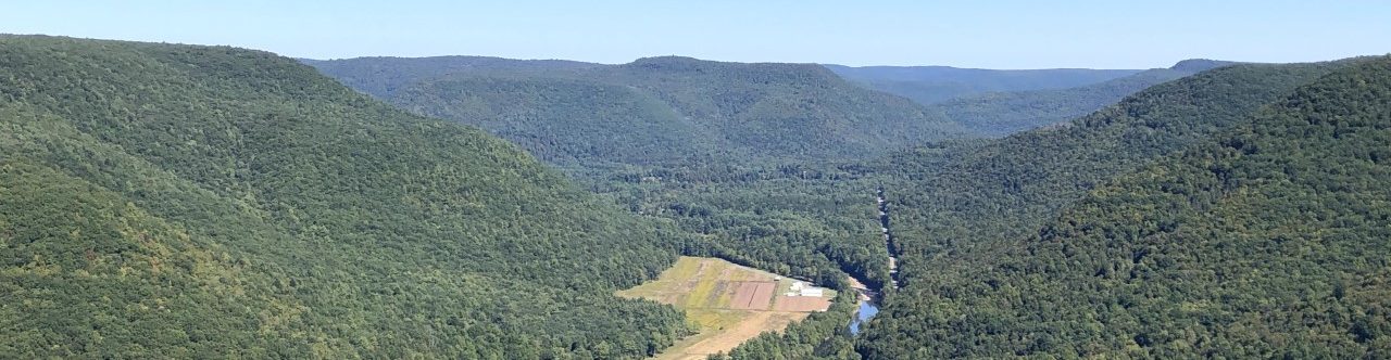
It’s official! The Bureau of Forestry has taken over ownership of the ‘Bar Bottom’ property. This 112-acre addition to the Loyalsock State Forest has not only expanded public access to Bar Bottom Hollow and the surrounding public land, but also helped conserve the overall natural beauty of the Loyalsock Valley!
When the bidding started at the auction for the ‘Bar Bottom’ property last summer, THIS is the moment that Northcentral Pennsylvania Conservancy (NPC) Executive Director, Renee’ Carey, was holding her breath for. This full circle moment, from recognizing the community value and conservation significance of a piece of land, to ensuring that it will be cared for and available for generations to come. And members of NPC made it all possible! THANK YOU!
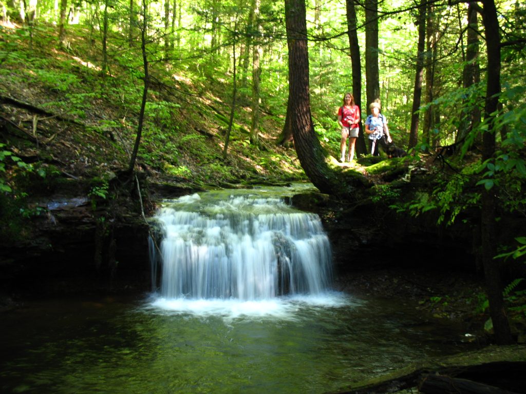
The incorporation of this land into the Loyalsock State Forest is significant because it makes it easier for outdoor recreationalists to access Bar Bottom Hollow and will help with management of this block of State Forest Land. Located east of Jacoby Falls (another popular hiking destination that NPC helped conserve access to), Bar Bottom Hollow boasts several spectacular waterfalls throughout the gorge. Hikers can access the Hollow by hiking in from Jacoby Falls or Wallis Run (please note that there is no public way to access the property from the Route 87 side of the Creek).
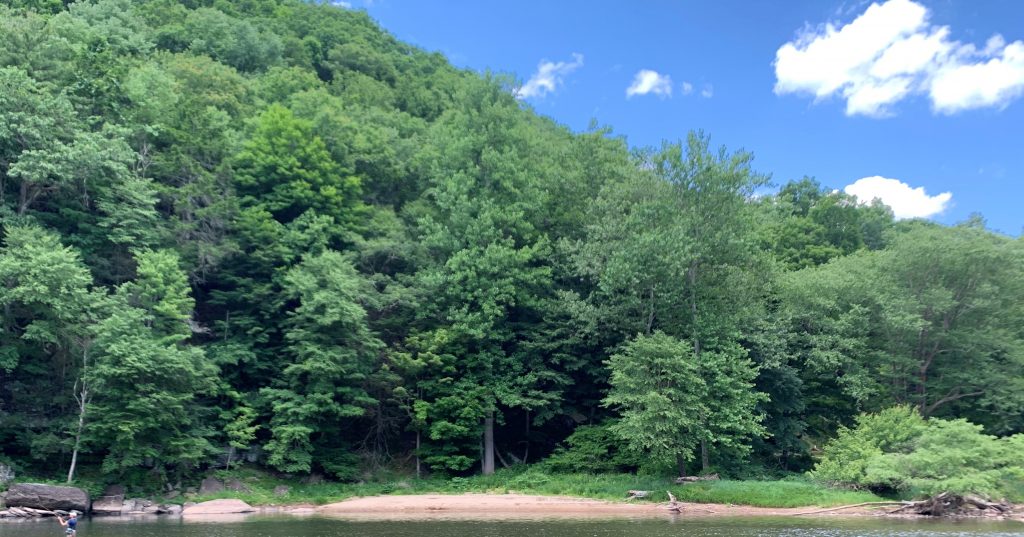
A cold-water stream in which trout reproduce naturally also winds through the land before entering the Loyalsock Creek. As part of the State Forest system, this water resource will be stewarded for the benefit of the wildlife that need it and the people that enjoy it.
To date, NPC has purchased over 6,400 acres to contribute to public land in northcentral Pennsylvania. In addition, NPC holds 47 conservation easements and 1 facade easement on over 4,735 acres. Learn more about these projects.

Hi Renee et al: Would you ever do some guided hikes to these places so city slickers like me could learn where they are?
This particular hike might be tricky to coordinate a “group hike”, but Renee’ will follow up with you to talk more about it!
NPC will be leading a guided hike at Worlds End on 5/22 as part of the Endless Mountains Heritage Region’s Worlds End Challenge weekend. Check it out, here: https://www.emheritage.org/events/
Congratulations! Is this area and the rest of Loyalsock State Forest protected from any fracking activities?
Thank you.
Thank you Barbara!!
Your long standing support helped make this possible. Buying a property at an auction is a very different timeline than working on a project being listed by a realtor.
The oil, gas, and mineral rights are included in the ownership. The title search we had done confirmed that. The property isn’t currently leased.
Now that DCNR owns it, a gas company would have to go through the process of requesting the property be put out for gas lease bid. The property would have to be leased for fracking to be allowed.
The water quality and trout in Bar Bottom would be factored in on any decisions DCNR makes about leasing the property.
Thank you again for your membership!
Is it possible to see a map of the new area? I understand there is no access from 87 but is there also no access to the bottom of the hollow via land? Is the bottom of Dry Run still private land? Does the new land reach all the way to the creek? If so, then paddling to the land is an option?
My daughter and I hike this Jan ’21 and it is spectacular. It also clear that the logging roads have been regularly used from the bottom to the top of the hollow by 4 wheelers/ UTV’s which was curious on state forest lands.
Hi Brian – The next step will be for the Bureau of Forestry to survey the property, cover-up the old boundary markers, and add new boundary markers to the new boundary line. This may take some time. If you are coming down the ‘Sock, the area on the downstream side of the mouth of Bar Bottom is on this property. There’s a small sliver there you could pull off, but most of the flat is on private property.