When a drought is finally declared the day before construction starts on a stream project, to be followed with over 3” of rain beginning only a few hours later, it makes for an interesting project.
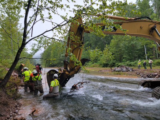
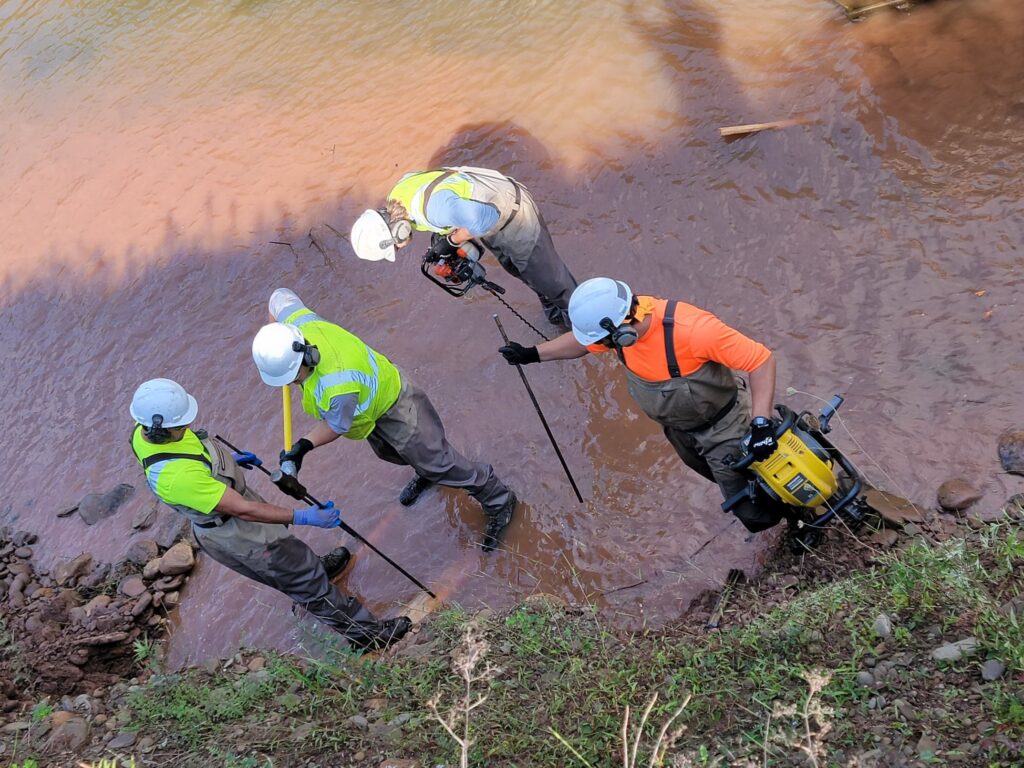
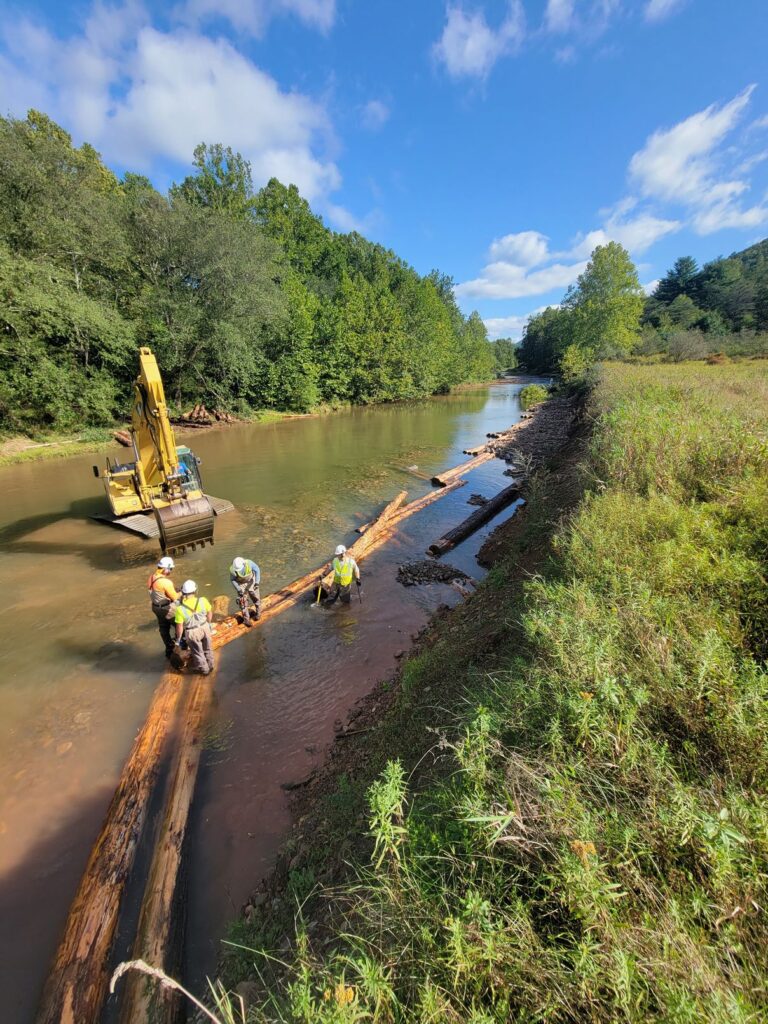
The Little Pine Creek streambank stabilization and habitat restoration project kicked off with a 2-day rain delay, and more rain throughout the week and a half long project. The deviation from typical stream flow, accompanied by a shortage of delivered logs for structures, enabled the stream team to show their flexibility and creativity, as they had to modify the original plan. With DCNR’s permission, the crew cut a few trees (mostly willow and sycamore) to use as face logs for the mudsills, with intentions of the trees reestablishing roots to help further stabilize the bank
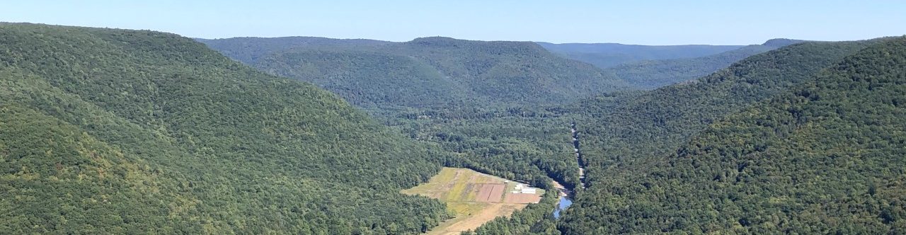
The Northcentral Pennsylvania Conservancy partnered with Little Pine State Park (DCNR Bureau of State Parks) and the Pennsylvania Fish and Boat Commission on a project to address eroding streambanks along Little Pine Creek within Little Pine State Park. Using log and rock structures approximately 1,000 feet of the streambank were stabilized and some floodplain access restored.
Specifically we looked at the stream stretch starting at the shooting range going downstream. Little Pine Creek is a Cold Water Fishery that is attaining for aquatic resources. The project site is in a stretch of the stream that also has naturally reproducing trout and is a Keystone Select trout stream.
Little Pine Creek’s streambanks are eroding, creating bank heights of 8 to 10 feet from water’s edge to the top of bank. The sediment from the eroding stream banks is entering the stream system and depositing in the area of this proposed project and down stream.
To give you some idea of the amount of sediment coming into the system we can use the location of the swimming buoys at Little Pine State Park’s lake which is downstream. The buoys are placed where there is 4.5 feet of water depth. In 2020 the buoys were placed approximately 75-feet from shore, in 2021 they were placed approximately 125 feet from shore. The buoys had to move further out because of the sediment filling in the lake.
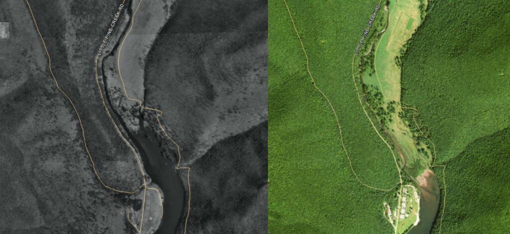
As you will see in the aerial photos comparing the site from 1995 (on left) to 2015 (on right) sediment is filling in the lake at Little Pine State Park. The sediment is from the eroding stream banks.
By working to eliminate sources of sediment and restore access to the floodplains the hope is Little Pine Creek can remain a Cold Water Fishery and continue to be attaining for aquatic resources as well as meet these other designations.
Jason Detar is a fisheries biologist for the Pennsylvania Fish and Boat Commission and serves on the Eastern Brook Trout Joint Venture. He conducted a habitat analysis of Little Pine Creek. When asked by email his thoughts on this project he responded with:
“Substantial streambank erosion is occurring throughout the proposed project reach on Little Pine Creek. This has resulted in significant sediment transport downstream in the greater Pine Creek/West Branch Susquehanna/Susquehanna River watersheds impacting water quality and habitat. The Little Pine Creek stream channel is becoming overly wide and shallow from the bank erosion. Little Pine Creek is unique in that it is a large stream that supports a wild Brook Trout population throughout the project reach. Brook Trout are intolerant of sediment and elevated water temperature. Completion of the project will improve water quality by reducing erosion and sediment deposition and improve habitat for wild Brook Trout.”
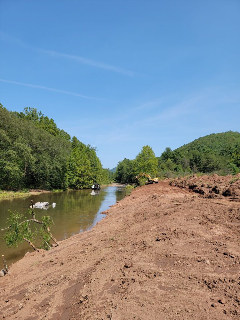
The crew built modified sawtooth mudsills, root wad deflectors and placed boulders. The mudsills and root wads slow the flow of the stream and redirect it towards the middle of the channel, which relieves pressure from the heavily eroded bank. These structures also provide habitat for fish, turtles, and other animals. The rock piles in the middle of the stream were intended to be large, individual boulders which would create scour pools on the downstream side. The 14’ high vertical bank was graded to reconnect Little Pine to the floodplain, this will allow for sediment to settle out into the meadow above rather than continuing downstream and filling the dam during high water events.
We anticipate continuing this partnership with DCNR at Little Pine State Park to implement more stream restoration along this popular stretch of naturally reproducing trout stream.
A shout out and thank you to Pennsylvania Fish and Boat Commission, Little Pine State Park, the Pennsylvania Council of Trout Unlimited, and the Coldwater Heritage Partnership for their help with the project!